

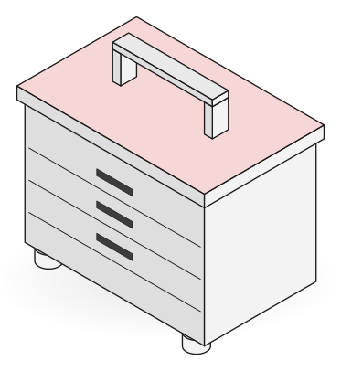

Short answer: Beaconless BLE asset tracking puts a small Bluetooth Low Energy tag on each asset and uses the smartphones of people already on site as readers. An app scans in the background inside the site, places each sighting with the phone’s GPS and motion sensors, and merges sightings from several phones into one position per tag. There are no gateways to mount.
Most yard tracking projects stall on the same problem: hardware per hectare. A hall can take a grid of readers. A large outdoor yard full of machines, attachments or precast elements would need power, masts and network everywhere. This post explains how the phones in your team’s pockets can do that job instead, and what has to be true for it to work.
At a glance
| Part | What it does | What you install |
|---|---|---|
| BLE tag | Sends a short radio signal every second or so | One tag per asset, battery powered |
| Staff phone | Hears tags nearby while its owner works | An app, running in the background |
| Positioning | Places each sighting with GPS and motion sensors | Nothing |
| Merging | Combines sightings from many phones into one position per tag | Nothing, it runs in the platform |
| Anchors (optional) | Give a fixed reference where GPS is weak, such as inside a hall | A few spare tags fixed to the walls |
What is beaconless BLE asset tracking?
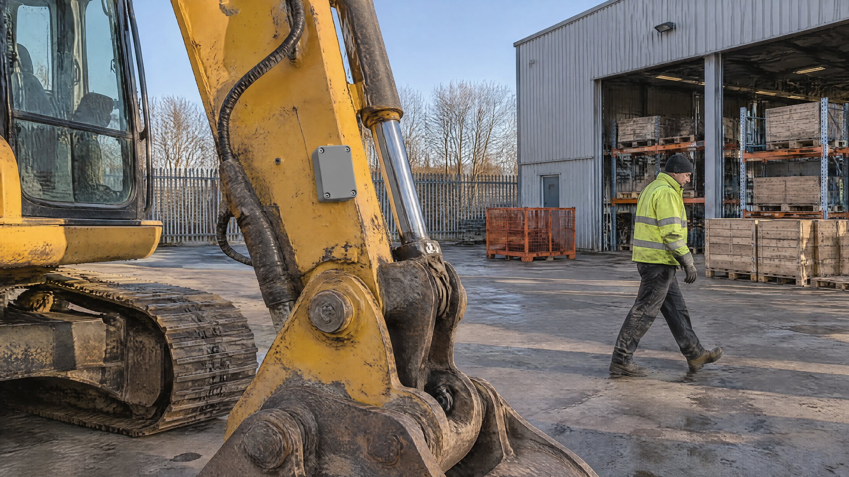
Beaconless BLE asset tracking means the tags on your assets are the only radio hardware on site. Classic BLE setups add fixed receivers, often called gateways or beacons, that listen for tags and report them. Here the receivers are the phones people already carry. A phone that passes a tag reports where it was at that moment, and the tag inherits that position.
The idea is old. A 2015 IEEE paper from the University of Genoa already described tracking construction equipment with BLE tags and smartphones (IEEE Xplore). What has changed is the practical side: tags that cost a few euros and run for years, phones with better motion sensors, and software that merges thousands of sightings into one clean position.
How does a phone turn a sighting into a position?
A phone does not measure where the tag is. It measures where the phone itself is, and how strong the tag’s signal is. GPS gives the phone’s position outdoors, and the accelerometer, gyroscope and step counter fill in between GPS fixes. Signal strength gives a rough distance to the tag.
One sighting is rough. Ten sightings from three phones walking different routes are much better, because each one narrows down where the tag can be. The platform weighs them by signal strength and age and settles on one position per tag. In our own first field test, positions landed within 3 to 5 metres. How close you get depends on the site: an open yard behaves better than a hall full of steel, which reflects radio signals.
That is close enough to walk to the right row. For the last metres, the same app shows a radar that points to the tag as you walk.
What does the setup need to work?
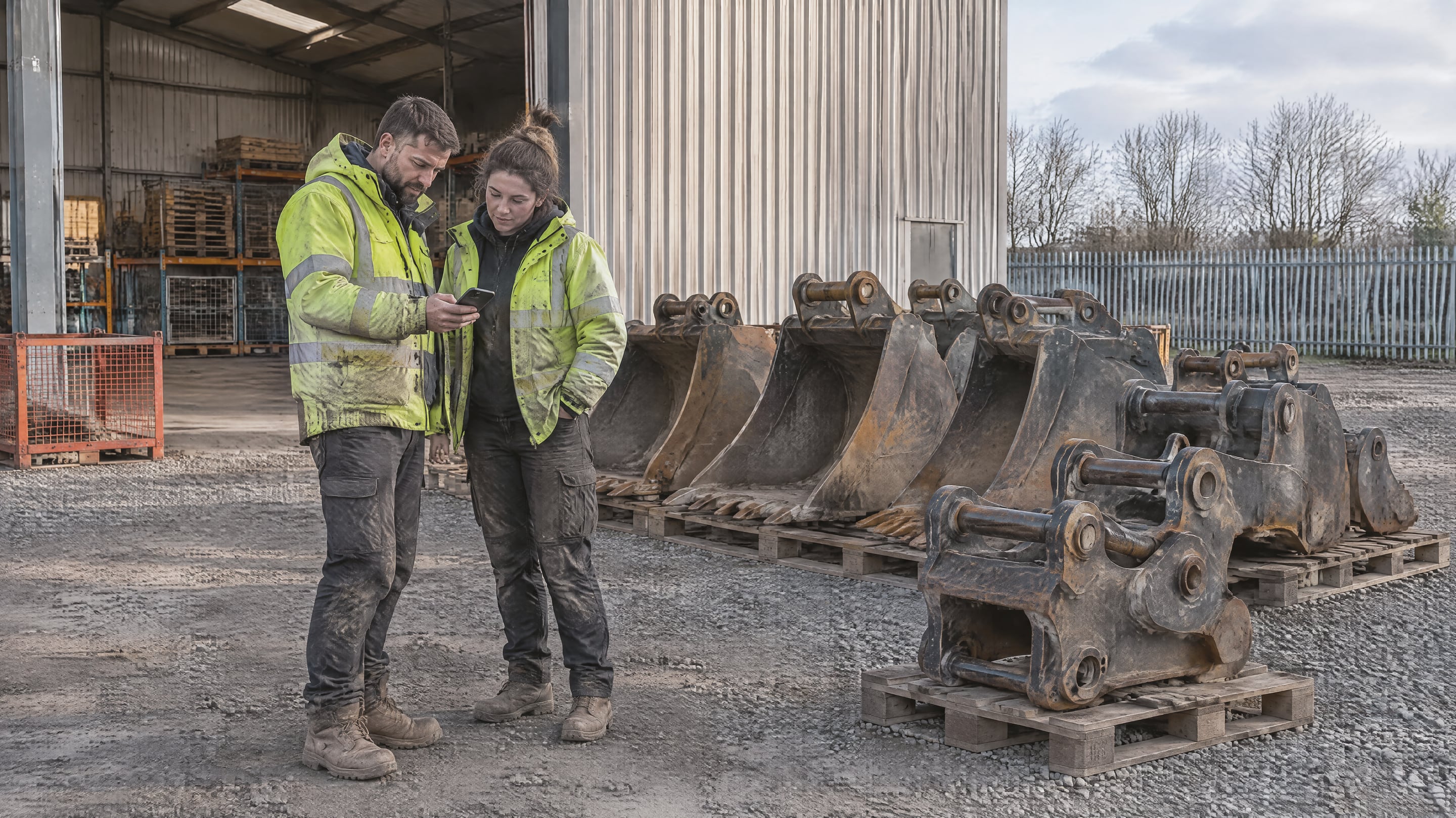
People walking the site every day. The map is only as fresh as the last phone that passed. Sites with their own staff on foot, such as equipment yards, rental depots and precast stockyards, get passes all day. A site where only rotating truck drivers come and go does not.
The other conditions are practical:
- Background scanning that survives a shift: iOS reports background Bluetooth scans less often and only for advertisements that match the filters an app sets (Punch Through). Android phone makers stop background apps to save battery. The app has to be built around both, and you should measure what share of each shift every phone actually reports.
- A geofence: the app scans inside the site and stops when the phone leaves. That keeps battery use low and keeps scanning off private time.
- A tag to asset link: each tag is linked to an asset number once, by a scan or a list import. Without it, the map shows tags, not machines.
- Anchors where GPS fails: inside halls, a few tags fixed to walls give each zone a known position.
How is this different from gateway-based tracking?
Gateway systems install fixed receivers with power and network across the site. They report continuously, also at night, and they cost more as the site grows. Phone-based tracking costs almost nothing per extra hectare, but it reports only where and when people walk.
That trade-off decides the fit. If you need to know the minute a machine leaves the gate at 3 a.m., you need fixed hardware there, or a GPS tracker on that machine. If you need to find any of 5,000 attachments during the working day without anyone scanning, phones cover it.
What does it change for the people on site?
Nothing in how they work. The app runs in the background and shows a small indicator. When someone needs a machine, they search for its number, see where and when it was last seen and by how many phones, and walk to it.
Privacy needs to be designed in from the start. Rotion shows tag sightings only, never worker names or the routes people walk, and the app stops scanning when a phone leaves the site. In Belgium and most of the EU, tracking that could reveal where employees are also brings GDPR duties and, in larger companies, a talk with the works council, so plan for both before the pilot.
Frequently asked questions
Which tags work?
Any BLE tag that advertises regularly. Rotion reads tags you already own and can supply tags with replaceable batteries, so you buy each tag once.
Does it drain phone batteries?
Battery use is low because the app scans only inside the site and at a set interval. Tune the interval in a pilot: shorter intervals give fresher positions and use more battery.
How do we test it?
Run a one-week pilot on one busy zone of your own site: about 100 tags, the app on the phones of the people who work there, and go or no-go criteria agreed up front. See BLE asset tracking and equipment yards, or book a demo.


